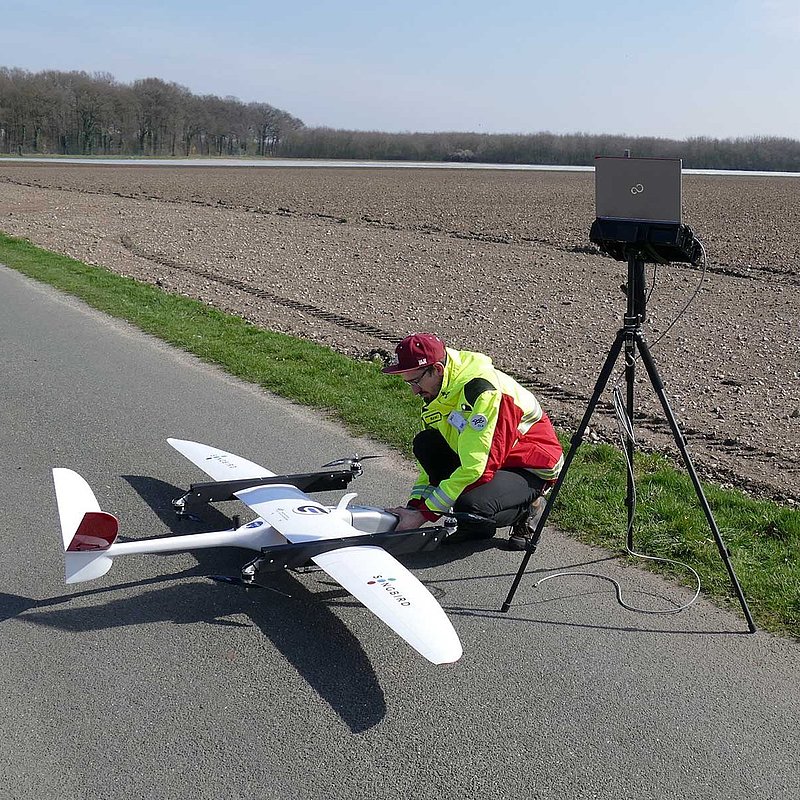
In cooperation with I.S.A.R. Germany (International Search and Rescue) and Germandrones, the German Aerospace Center (DLR) conducted several test flights with an unmanned aerial vehicle. The reconnaissance flights revealed the potential capacity of this technology for rescue workers and the required technological development. At the test in Weeze (district of Kleve, North Rhine-Westphalia), a special version of the MACS aerial camera system (Modular Airborne Camera System), developed by the DLR Institute for Optical Sensor Systems, was used. The camera system can map the current condition as an interactive map - in real time. For this purpose, the aerial photographs are projected directly onto a globally available surface model of the earth and are displayed as a superimposition on a digital map. By using a fast unmanned aircraft, large-scale damage can be mapped from the air within minutes - without complicated equipment. Germandrones' unmanned aerial vehicle is able to start and land vertically, and the fully automated operation permits the use directly on the ground in the area of damage. Thus, the operational forces of I.S.A.R. Germany can obtain a quick overview from above, "which is a valuable complement for the coordination of on-the-ground rescue operations," says Thomas Kraft from the DLR Institute for Optical Sensor Systems, who accompanied these test flights. "In a crisis situation, every minute counts," Kraft continues. "We were able to show that with the MACS camera and the Germandrones UAS large areas can be mapped within minutes." Directly after landing the maps were available to the rescue teams, making rescue operation coordination much faster. For this purpose, single images of destroyed areas and maps were integrated into the UN Global Disaster Alert and Coordination System (GDACS). In the future, this information can also be made available to other relief organizations via the coordination center.
Abbreviated translation of original article from the DLR website.