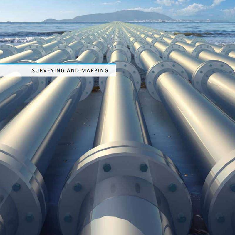
Surveying and Mapping
The Songbird, equipped with high-precision cameras and GPS is the premier solution for surveying, mapping and documentation tasks. The resulting imagery and 3D models meet industrial requirements for example for production monitoring and inventory management in open-pit mining, road construction, detection of tectonic movements or monitoring of weirs and dykes.
The Songbird can be taken into the field by a single operator. It is transported in a sturdy aluminium box and is assembled and ready to fly in less than 10 minutes. You can survey areas of up to 25 km² in a single flight, making it possible to quickly gather precise information of very large areas.
Search and Rescue
The Songbird, equipped with a real-time mapping kit, is a new tool for first responders and government agencies operating during natural disasters. Less than five minutes after its return from mission, you will be presented with a precise, geo-referenced image of the disaster zone, enabling you to plan ahead and work more efficiently to save lives and prevent your rescue workers from getting into dangerous or stressful situations. The mapping kit can be exchanged against a stabilised video gimbal with a remotely transmitted high-definition live stream with additional thermal sensors to assist the ground operators. The Songbird can be taken into the field by a single operator. It is transported in a sturdy aluminium box and is assembled and ready to fly in less than 10 minutes. This enables you to have a go-ahead crew to operate the Songbird and take it with them even in the most challenging circumstances.

Security and Surveillance
The Songbird, equipped with stabilised video gimbal with a remotely transmitted high-definition live stream enables you to observe high-risk areas from a safe distance and over long periods of time. Whether it is an accident zone where you need frequent updates on the situation or a no-trespassing area, live video in the optical and/or thermal spectrum gives you the ability to make informed decisions. It is possible to monitor large factory sites, airports, railways, pipelines or powerlines continuously due to the long flight time of up to two hours.

Precision Farming
The Songbird, equipped with optical and multi-spectral cameras, helps you to enhance crop yield through a variety of ways. Determining plant health, pest infestation or overall biomass can help you to optimise pesticide usage. Another application is the optimisation of irrigation equipment which is especially relevant in areas struck with frequent droughts. Modern plant analysis software can be employed to gain the best insight into the status of your crops and can be used to predict growth over the seasons.

Scho, Klaus, Dr.
Managing Director
takeoff@germandrones.com
Germandrones GmbH
Alt-Moabit 55, 10555 Berlin, Germany
Tel. + 49 (0)30 34 78 12 81