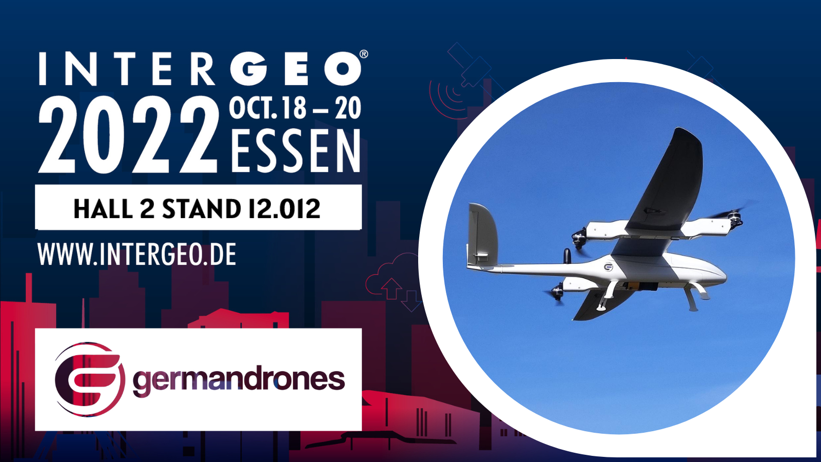
The Songbird 150 Precision Mapping Solution is more than just hardware. It is an automotive system which covers a variety of customers' tasks.
Efficient corridor mapping, high-resolution powerline inspections, high-quality LiDAR data acquisition, and multispectral imaging; this is by far not the complete list of Songbird application scenarios
Why is Songbird 150 Precision Mapping a must-have solution in your drone fleet?
- Vertical take-off and landing with patented tilting motors technology, which serves to reach a smooth transition from copter mode to fixed wing mode
- Revolutionary long flight time with heavy payload and a fully electronic power supply system
- Versatile application with a variety of easy-to-change payloads (LiDARS, cameras, multispectral sensors) and flexible customization
- Droneintelligence (c) ground control software with mapping and surveillance functions for all available payloads to provide fully autonomous flights.
- Navigation via radio connection or 4G,5G technology to perform flights without distance limitation.
- Best training experience. Our clients use a flight simulator developed by Germandrones ©
- We do not teach how to fly only. We additionally teach how to receive high-quality data; for this purpose, we offer data processing courses.
Do you want to get more information?
Do not hesitate to book your free ticket!

And do not hesitate to book a private meeting with our specialists, during which we present the Songbird Precision Mapping Solution exclusively to you.!